|
|
|
|
|
|
|
|
|
EGS 312 : Atmospheric processes |
When forecasting changes in the weather we need to know two things:
a) the state of the atmosphere at some
given time, and
b) the physical laws that govern changes to that state.
This sounds simple but in practice....
A) Observations are sparse/expensive
and erratic in space and time.
B) Precise mathematical formulations of the physical laws are complex,
leading to simplifications being made.
Forecasting
Methods
Forecasting the atmosphere is attempted through two different approaches:
a) Objective approach - Time-dependent equations describing changes in the atmosphere are solved numerically by computer.
e.g. Assuming the geostrophic wind to approximate the real wind and that it is driven by pressure gradients, we form a grid of points describing the pressure gradient. Using simplified equations to give us the rate of change of pressure gradients with time we produce future values of this field. This is done in short time increments (typically ~10 min) because the rate of change is not constant. Once this is complete for all grid points and time steps we have a future state of the wind field.
Improvements in numerical weather prediction skill have gone hand-in-hand with the exponential increase in computing power. Forecast models can resolve finer detail and run at faster speeds. The problem today is that the observation of the atmosphere is beginning to lag the power of the computers such that errors in the initial atmospheric state (condition "A" above) are the limiting factor in forecast skill at the short-range.
b) Subjective approach - Human forecasters attempt to predict the future states of the atmosphere using their theoretical knowledge and practical experience
Extrapolation/Interpolation (to estimate values between two known values) - frontal-system motion, line-storms (limited to less than 12 hours)
Analogues - assuming this system will follow the same sequence as a similar occurrence in the past (atmosphere does repeat itself to some degree but each situation is unique)
Climatology - crucial information to any forecaster, should NOT forecast a record temperature without a very good reason
Local weather forecasting techniques - weather can vary drastically over short distances (e.g. fog). Knowledge of local topography etc can be very useful
The Persistence Method; the simplest way of producing a forecast. The persistence method assumes that the conditions at the time of the forecast will not change. For example, if it is sunny and 25 degrees today, the persistence method predicts that it will be sunny and 25 degrees tomorrow.
The persistence method works well when weather patterns change very little and features on the weather maps move very slowly. It also works well in places like Northern Cape, where summertime weather conditions vary little from day to day. However, if weather conditions change significantly from day to day, the persistence method usually breaks down and is not the best forecasting method to use. It may also appear that the persistence method would work only for shorter-term forecasts (e.g. a forecast for a day or two), but actually one of the most useful roles of the persistence forecast is predicting long range weather conditions or making climate forecasts. For example, it is often the case that one hot and dry month will be followed by another hot and dry month. So, making persistence forecasts for monthly and seasonal weather conditions can have some skill. Some of the other forecasting methods, such as numerical weather prediction (NWP), lose all their skill for forecasts longer than 10 days. This makes persistence a "hard to beat" method for forecasting longer time periods.
Practical Forecasting – Using both objective and subjective methods
The goal of this part of the course is to introduce some basic circulation patterns, typical of certain seasons, and to discuss what the weather is likely to be in various parts of the country. We will attempt static forecasting techniques, i.e. we will not try to determine whether a weather-system is intensifying or weakening (which involves months of training and equation derivations etc) but rather to take the pressure patterns as produced by a numerical model and create a forecast.
Some points to remember when forecasting the weather:
The same synoptic weather pattern can be associated with cold and wet conditions in one area while another area can be hot and dry (when it is pouring with rain in your location it becomes difficult to imagine people in another part of the country swimming and sunbathing and vice versa!)
Always look at the upper air conditions. These drive the synoptic scale features.
Similar-looking weather patterns behave differently in different seasons, e.g. cold-fronts in summer may not have a true "northwester" before-hand and rainfall amounts are lower. Cut-off lows can be devastating in summer while in winter only light showers occur (with snow over high ground).
Each weather-pattern is unique, and although it may seem identical to another it must be analysed carefully from start
On a local scale, know your topography, it is one the biggest factors affecting local weather....
a. Mountainous areas will experience different weather to that over flat plains
b. If there is a chance of snow you need to delineate the area carefully by using the cut-off altitude of the freezing level
c. Mountain ranges determine how far inland maritime air will penetrate, i.e. low cloud and maybe drizzle
d. Temperature depends strongly on altitude, especially when the wind is blowing
e. Wind directions vary in mountainous areas (why are Cape Town's strongest and prevailing winds NW and SE?)
You also need to be up-to-date with your geography (places and names change). When the farmer from GATZONDERKLIP phones in he expects you to know where he lives!


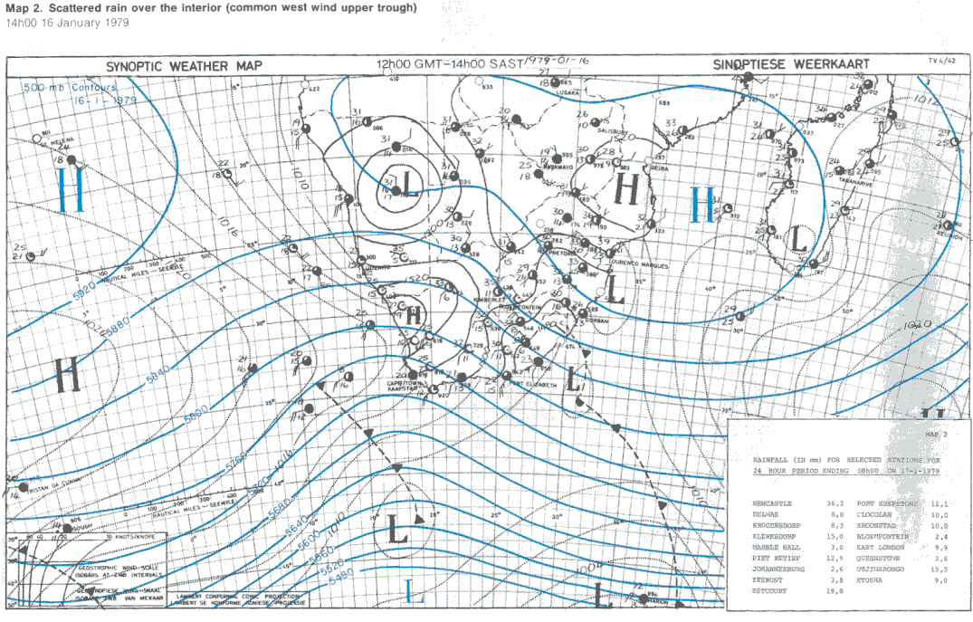

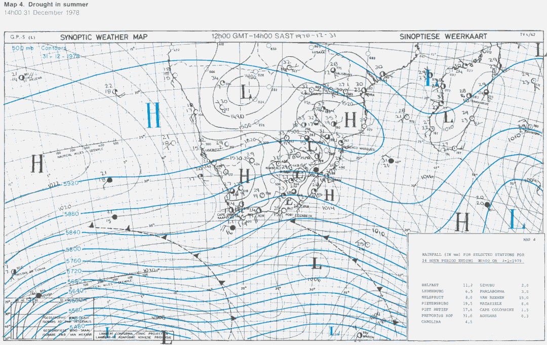

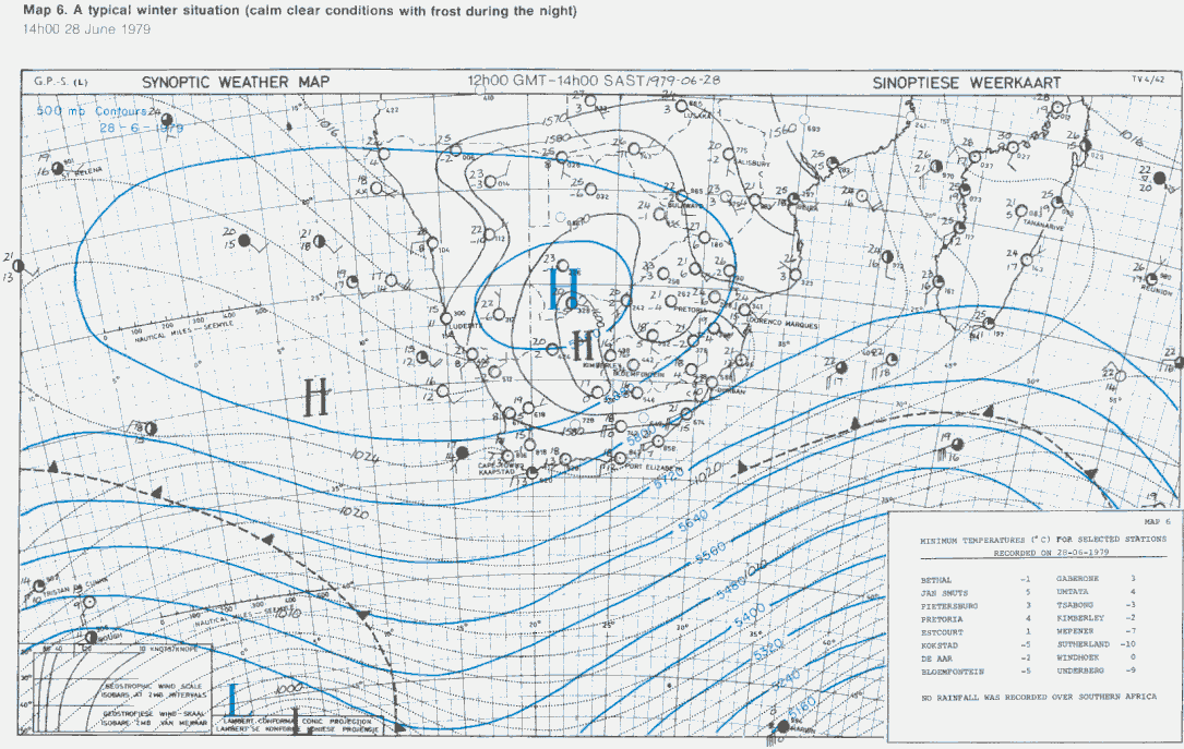

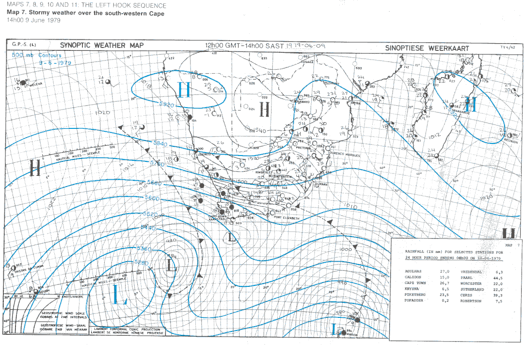


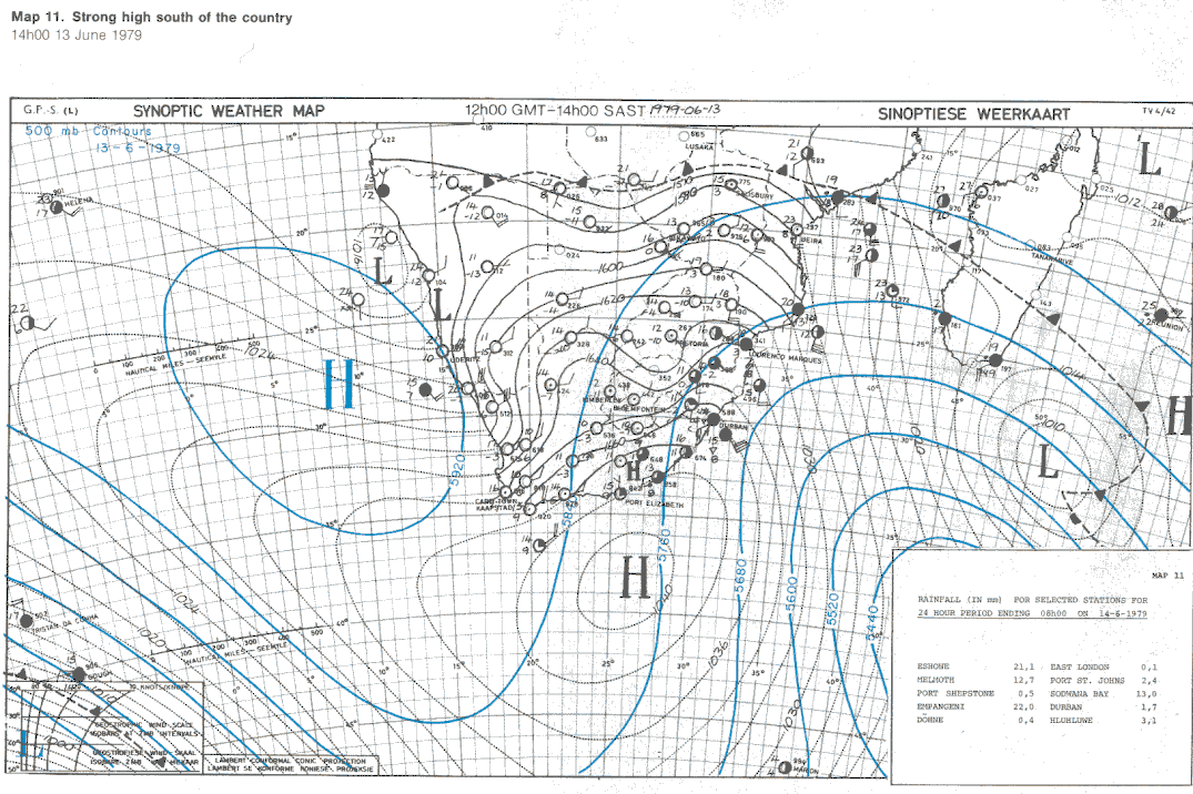

Cut Off low
(eg Montague 2003)


